As of April 2017, two ZephIR Lidar (Light Detection and Ranging) devices have been commissioned in the Maldives as part of the second phase of the World Bank ESMAP Wind Resource Assessment and Mapping Project. The Project has been initiated and supported by the World Bank and the Maldives Ministry of Environment and Energy, and sponsored by the Energy Sector Management Assistance Program (ESMAP) and the Asia Sustainable and Alternative Energy Program (ASTAE). DNV GL has implemented the Project, with support from local partners Consonant Solutions and Renewable Energy Maldives.
The Lidar devices have been installed on two islands in the north of the country, Thulusdhoo and Hoarafushi, which interim results indicate have a more promising wind resource. The ZephIR 300 onshore wind Lidars are a remote sensing device, which use lasers to profile wind speed and direction at heights up to 200 meters above ground. These ground-based measurements will be used in validating desk-based mesoscale mapping outputs created in the first phase of the project, and will eventually support the development of a country-wide wind resource assessment atlas.
The Lidar devices were commissioned as an alternative to traditional meteorological masts, which can be challenging to install in remote island locations, where space is at a premium due to high population density and corrosive salt air degrades steel components quickly. The Lidars, approximately the size of a portable generator, require only a small physical footprint and an unobstructed view of the sky to record wind resource data every ten minutes, 24 hours per day. Data are remotely sent to the contractor that commissioned the devices, DNV GL, for regular quality-checking and review. The Lidars will be able to be re-positioned after the end of the two-year campaign, to collect wind measurement data at additional locations.
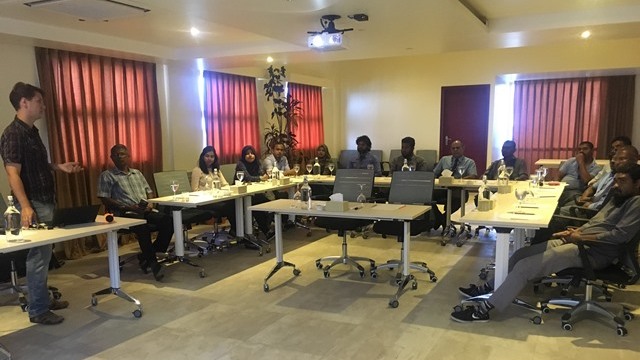
DNV GL commissioned the units at small compounds owned by local utilities, and performed a short training demonstration on the Lidars’ functionality for participants from the Ministry of Environment and Energy, Maldives Meteorological Service, the Maldives Energy Authority, and representatives from local utilities Stelco and Fenaka that are hosting the devices. Attendees received an overview of the technology, a description of how data are collected and used in the Wind Resource Mapping Project, and an overview of the project’s progress to date and future phases.


